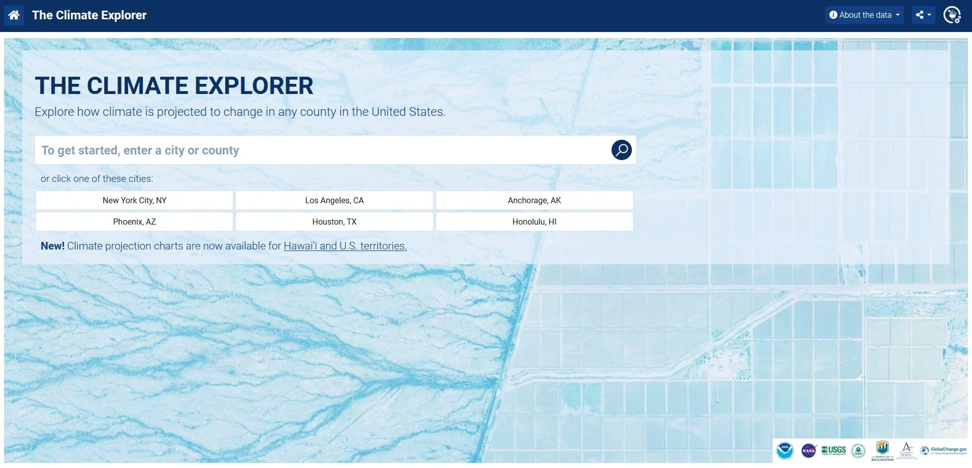
A tool to create graphs and maps of past and projected climate data for counties and cities in the U.S.
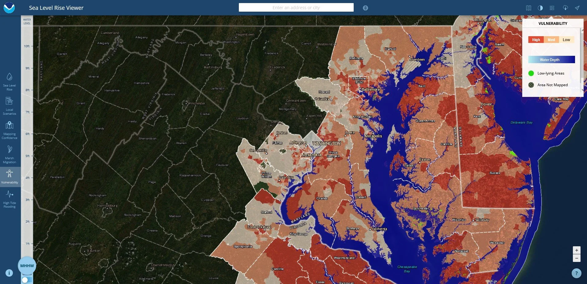
NOAA Sea Level Rise Viewer
A mapping tool for viewing sea level rise and potential coastal flooding impact areas and relative depth.
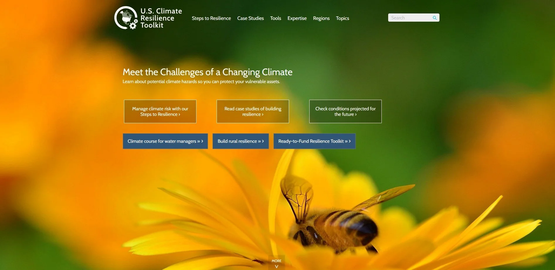
U.S. Climate Resilience Toolkit
A portal to information about climate hazards affecting the U.S. and actions we can take to make our communities more resilient.
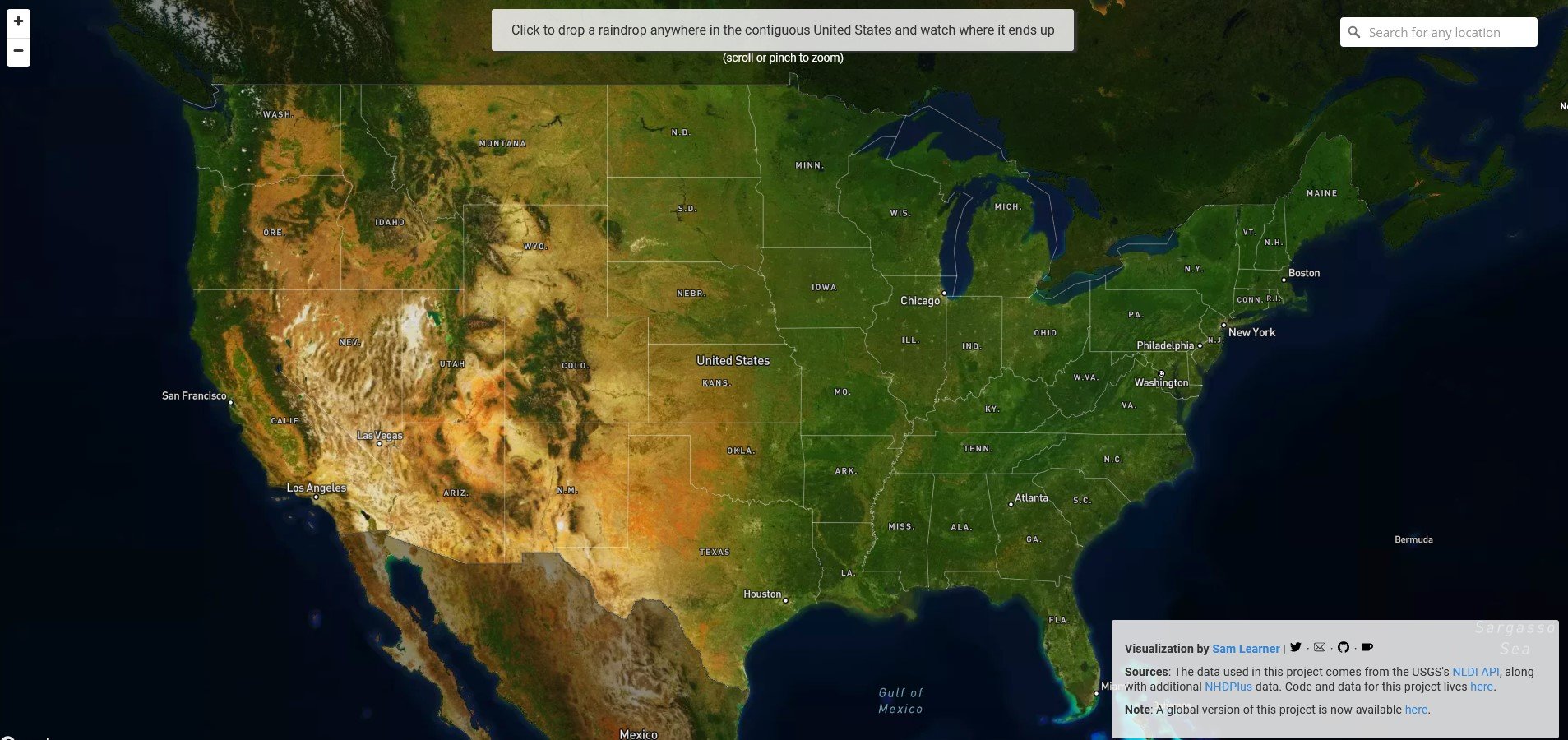
River Runner
A mapping tool that lets you drop a raindrop anywhere in the contiguous U.S. and watch its path through the watershed.
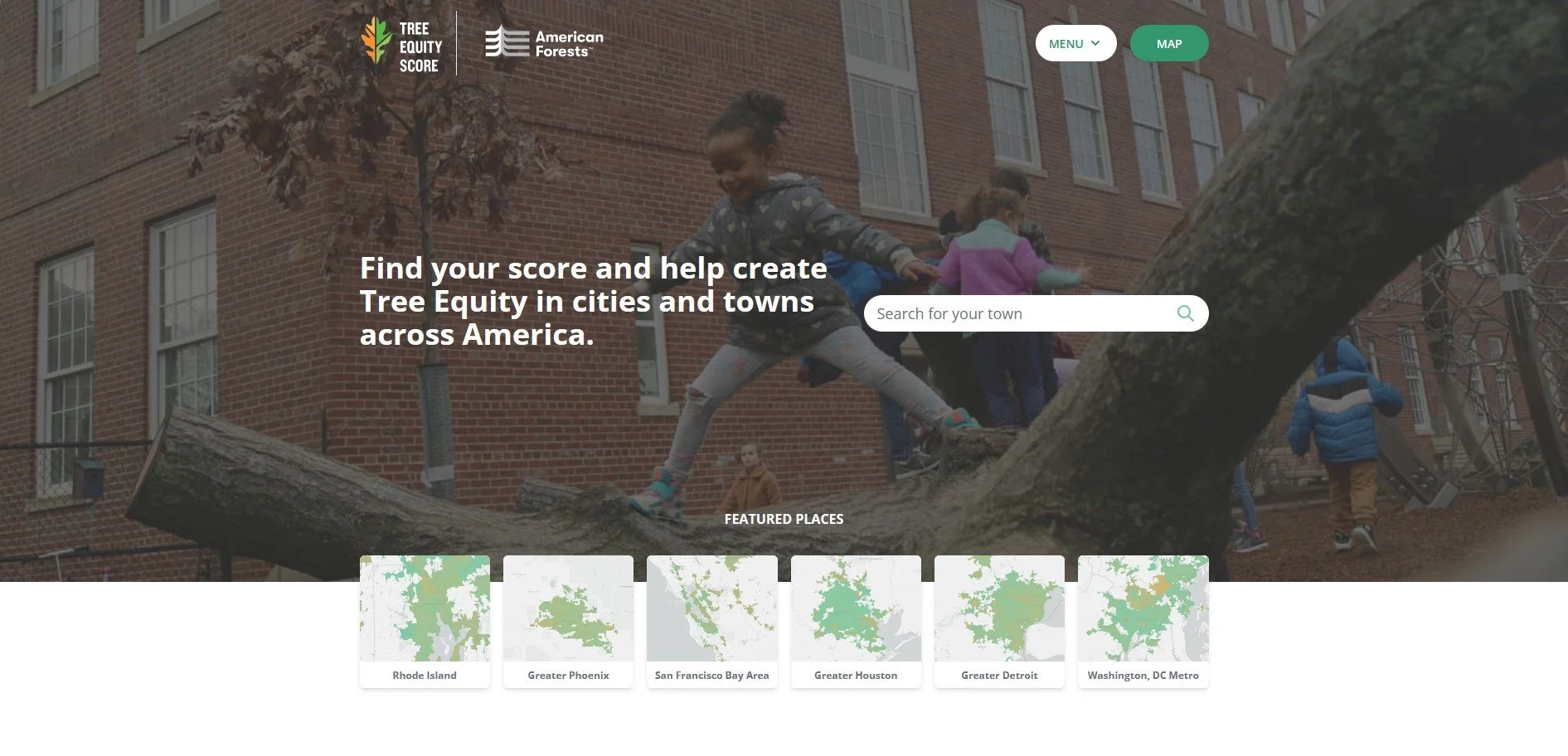
Tree Equity Score
A mapping tool that shows tree equity, a measure of how well cities are delivering equitable tree canopy cover to all residents.
MWEE Practitioner Webinar Series
A playlist of recordings of webinars from the NOAA Chesapeake Bay Program
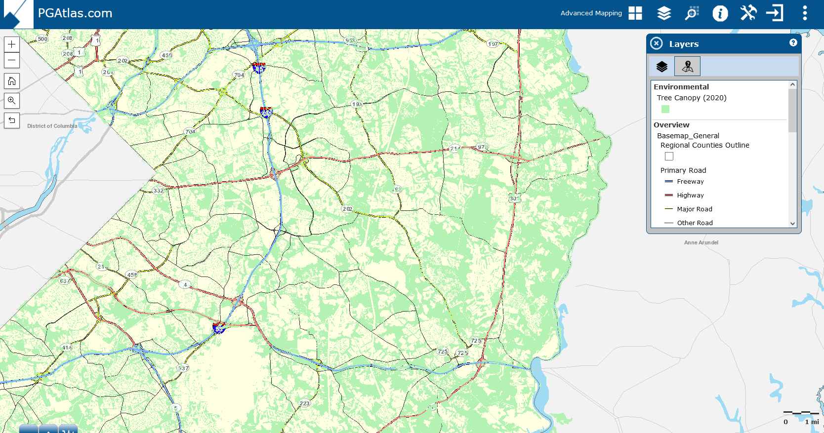
PGAtlas
Map layers for Prince George’s County, MD, including tree canopy and impervious surface data.
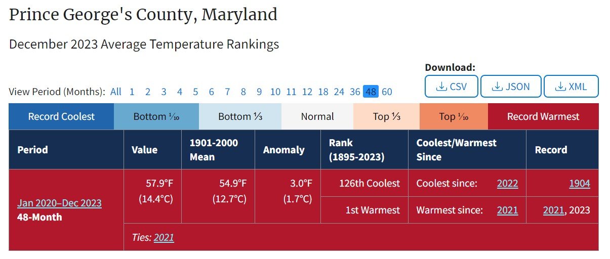
NOAA Climate at a Glance
A source for climate data, graphs, maps, and rankings for U.S. cities, counties, climate divisions, states, and regions as well as for the entire country and the world.